Booking choice: The half-day coast tour from Monterey, from $227 per person. Check dates Tour details
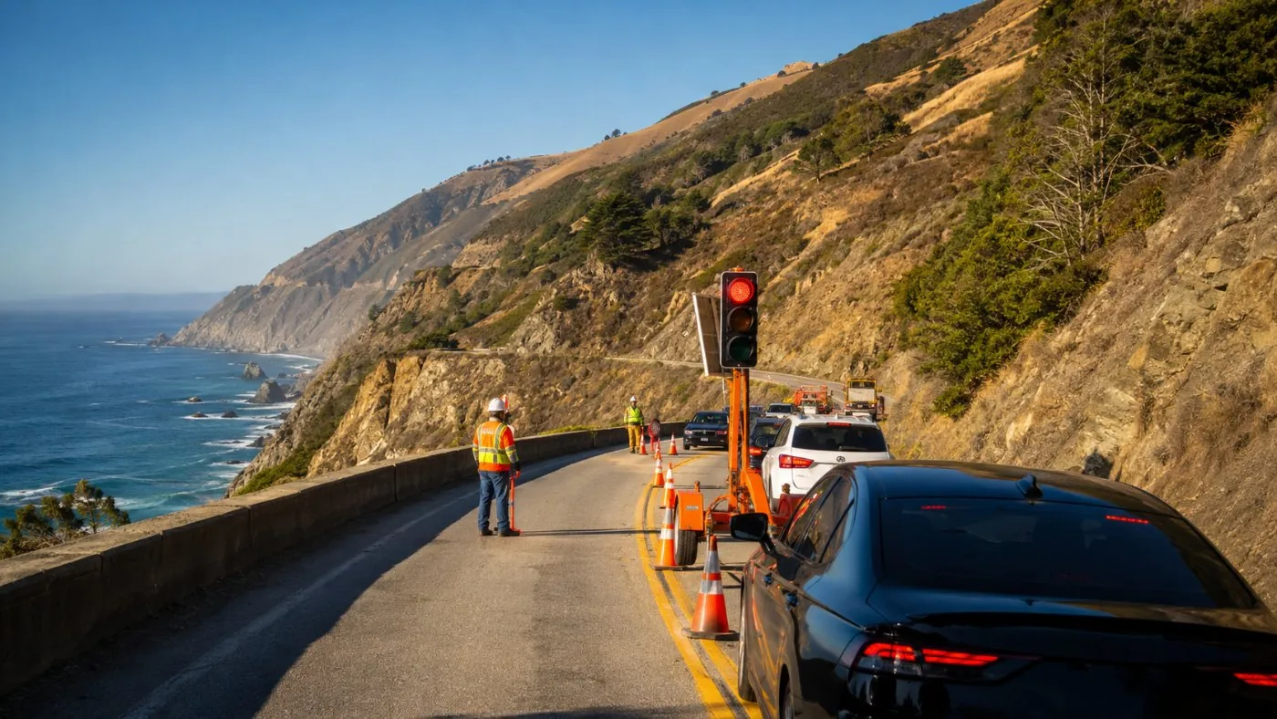
Winter in Big Sur has two faces. Between storms the air is the clearest of the year, the hills turn green and gray whales pass close to shore. During storms the road can close in a few hours and stay closed for months, as Regent's Slide showed in February 2024.
This post covers the forecast, what the state is doing about it, the wildlife calendar and how to plan a day trip from November to March without getting stuck.
The quick answer
Plan winter day trips around the forecast, not the calendar: go on the clear day after a storm, stay north of Torre Canyon if rain is due, and check QuickMap the morning you leave. Gray whales peak in January; elephant seal births peak in late January.
Will El Niño close Highway 1 in Big Sur this winter?
Nobody can say which slope will fail, but the risk is higher than usual: a strong El Niño, fresh burn scars and known slide zones line up.
Federal forecasters put the chance of a very strong El Niño at more than 90%, with a 75% chance of historic strength, according to Fox Weather. Governor Newsom declared a statewide state of emergency on 21 September 2026, which fast-tracks slide and debris-flow work and asked Caltrans for a list of at-risk highways. On 27 October he signed an executive order to prioritize preventive work on the Pacific Coast Highway before the storms, signed at Crystal Cove in Orange County, not in Big Sur.
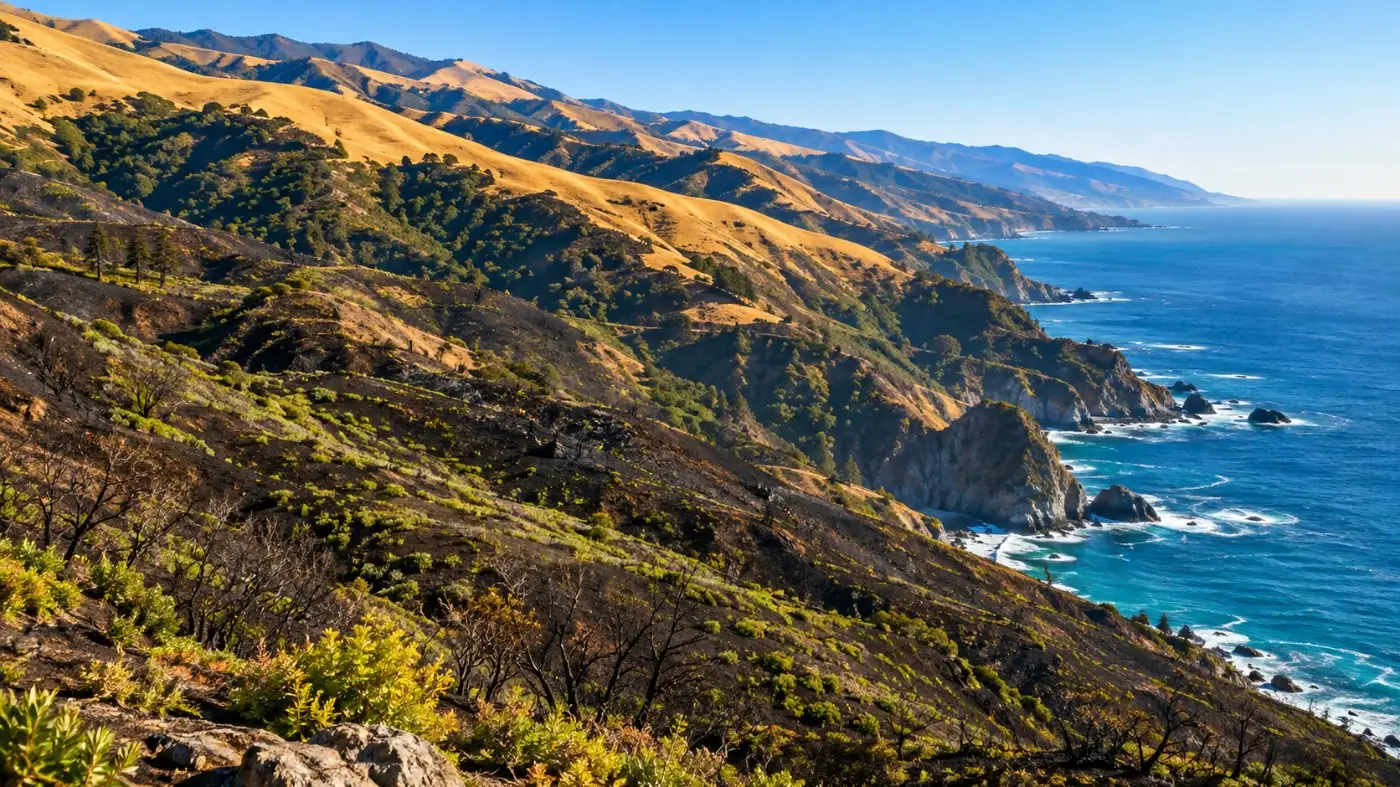
In Big Sur the weak spots are known: Regent's and Paul's near Lucia, the Torre Canyon slopes the Timber Fire stripped bare, and the Point Sur embankment. More than 70% of the coast's rain falls from December to March. A mid-coast closure is a real possibility this winter; a closure north of Bixby Bridge is less likely.
| Weak spot | Miles from Carmel | Why it matters |
|---|---|---|
| Point Sur embankment | about 17 | Failed in Feb 2026; one lane under signal since |
| Torre Canyon | about 33 | Burned slopes above the road; netting under way |
| Regent's and Paul's slides | about 45 to 50 | Regent's closed Feb 2024 to Jan 2026; storm debris shut it 17 to 20 Feb 2026 |
| Plaskett burn area | about 55 to 62 | Burn scar above the south coast road |
When can you see gray whales from Big Sur?
December to February for the southbound migration, peaking in January; March to May for the northbound one, when mothers and calves hug the shore.
From Big Sur you watch from the cliffs, not a boat. The Monterey Bay whale watch calendar puts the southbound peak in January and the northbound peak in March, with mother-calf pairs close to shore from March.
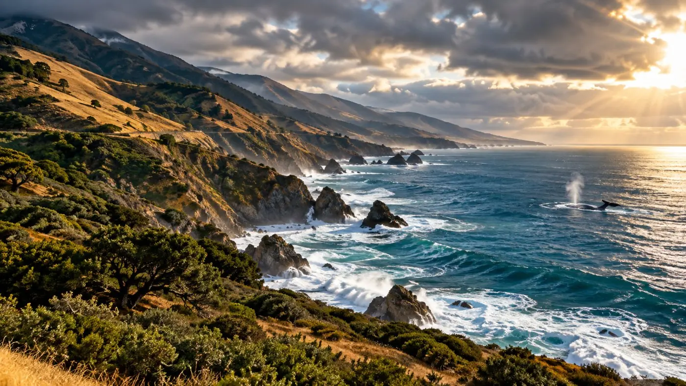
Good spots: the bluffs at Garrapata, the overlooks around Point Sur and the McWay Falls trail. Look for the spout first, a low bushy puff that hangs in the cold air. Binoculars help more than a long lens.
| Month | On the coast | Where |
|---|---|---|
| November | Elephant seal bulls start arriving (late Nov) | Piedras Blancas, 82 mi |
| December | Gray whales heading south; Keyhole Arch sunsets | Garrapata, Pfeiffer Beach |
| January | Gray whale peak; elephant seal births peak late Jan | Cliffs, Piedras Blancas |
| February | Northbound gray whales from mid-month | Garrapata, Point Sur |
| March | Northbound whale peak, mothers and calves | Garrapata, Point Sur |
When do elephant seals give birth at Piedras Blancas?
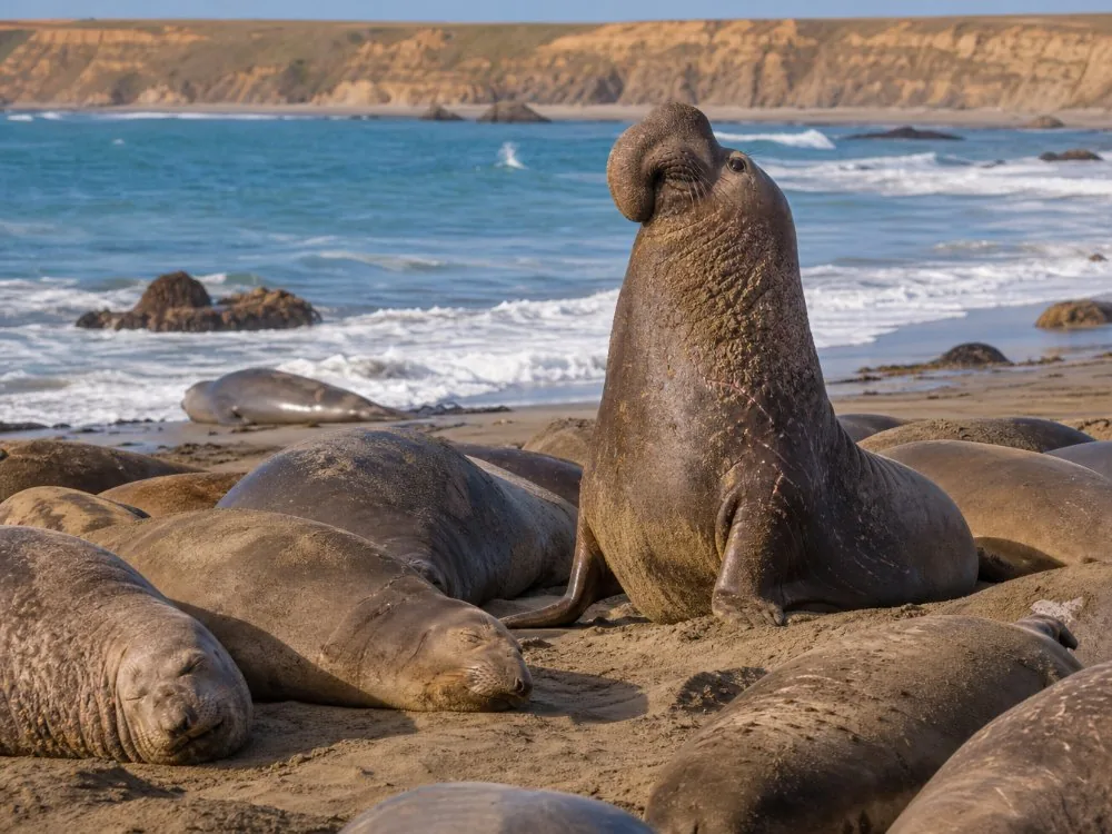
Births build through January and peak by late January. The viewing area is free and open every day.
Adult males reach the Elephant Seal Vista Point at the end of November; pregnant females follow, and the colony peaks with births by late January. It is about 82 miles from Carmel, 4.5 miles north of Hearst Castle, so it is the far end of a long day or the start of one from the south.
There are no restrooms at the boardwalk. Stay behind the fence and keep dogs in the car.
How much daylight does a Big Sur day trip get in winter?
About ten hours, a little less around the solstice. Daylight saving ends on Sunday 1 November 2026, and sunset falls to around 5 pm by mid-November.
The clocks go back one hour at 2 am on 1 November. That takes sunset from about 6:15 pm on 29 October to roughly 5:10 pm a few days later. The state parks close at sunset, and the road has no lights. Driving Highway 1 south of Point Sur after dark is slow and unpleasant, so plan your furthest stop for early afternoon.
| Date | Sunset (about) | Plan |
|---|---|---|
| 29 Oct 2026 | 6:15 pm | Last long evening before the clock change |
| 15 Nov 2026 | 5:00 pm | Turn north by 2 pm from McWay Falls |
| 21 Dec 2026 | 4:56 pm | Shortest day; Keyhole Arch sunset season |
| mid-Jan 2027 | 5:15 pm | Whale peak; start early |
| 20 Mar 2027 | 7:19 pm | Days long again, spring green |
What does a winter day trip to Big Sur look like?
Start early from Carmel, keep the plan flexible and decide how far south to go on the morning, based on the forecast and QuickMap.
A good winter day: Point Lobos at 8 am, Garrapata for whales, Bixby Bridge from a legal pullout, then lunch in the Big Sur Valley and the Redwood Grove in Pfeiffer Big Sur. If the forecast is dry and QuickMap is clear, carry on to McWay Falls and turn back by early afternoon.
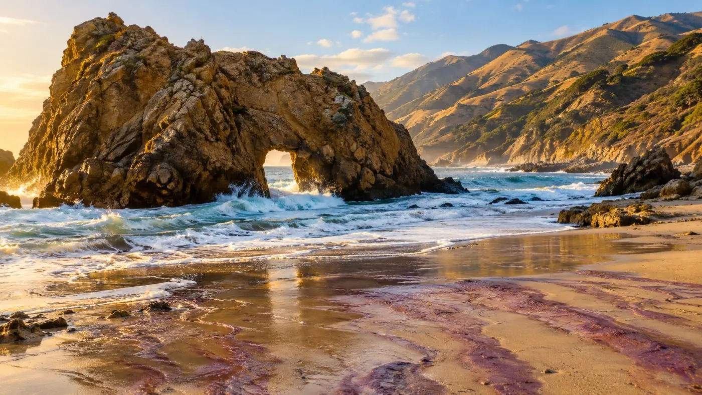
Around the winter solstice the sun sets through Keyhole Arch at Pfeiffer Beach on a handful of days. The narrow access road can close after heavy rain, and the lot holds 65 cars. Hearst Castle closes on Thanksgiving, Christmas and New Year's Day; book tours ahead from $35. For the full stop list see the Big Sur stops guide.
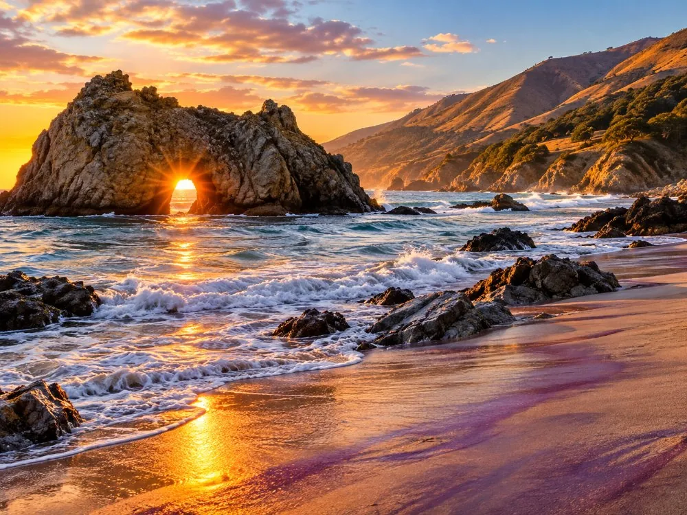
Is it better to take a tour or drive Big Sur in winter?
On a stormy week, a tour. A local guide watches the forecast and the closures for you, and a short northern route has the least exposure.
The half-day coast tour from Monterey covers the stretch least likely to close: Bixby Bridge, the Big Sur River and a redwood walk, back by lunch. Read the cancellation terms on the listing before you book a storm-season date.
Want more of the coast? The private tour from San Francisco lets you change the plan on the day, which matters more in January than in July. Self-drivers should read our Highway 1 driving guide and the current road status.
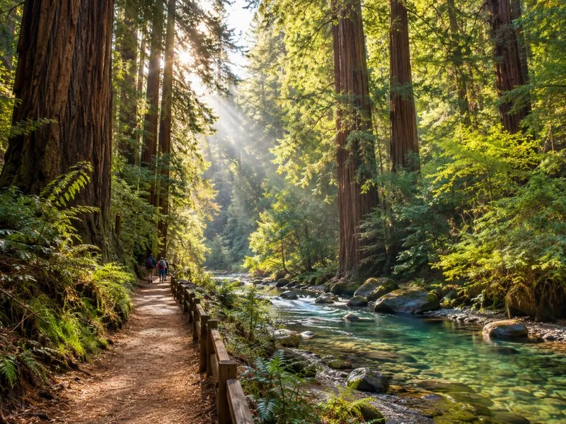
Three hours on the northern coast with a local guide and hotel pickup on the Monterey Peninsula.
Explore the half-day coast tour from Monterey Tour detailsVisiting from San Francisco in winter? A private car lets you move the day around the weather.
Check dates for the private tour from San FranciscoFrequently asked questions
Is Big Sur worth visiting in winter?
Yes, on the right day. Clear days between storms are the clearest of the year, the hills are green and gray whales pass close. Check the forecast and QuickMap first.
Does Highway 1 close in winter?
Not on a schedule, but storms can close it. Regent's Slide closed it in February 2024 and storm debris shut it again on 17 to 20 February 2026. Watch QuickMap during rain.
When is the best time to see gray whales in Big Sur?
January for the southbound migration and March for the northbound one, when mothers and calves swim close to shore.
When does daylight saving time end in 2026?
On Sunday 1 November 2026. Sunset in Big Sur moves to around 5 pm by mid-November.
Ready to book
Choose your tour
Check each listing for its cancellation terms. Prices are from-prices in USD and move with the season.
Big Sur Coast Half-Day Tour from Monterey
- Pickup at Monterey Peninsula hotels
- Guide commentary on geology, wildlife and history
- 4 to 5 short stops, redwood walk in Pfeiffer Big Sur
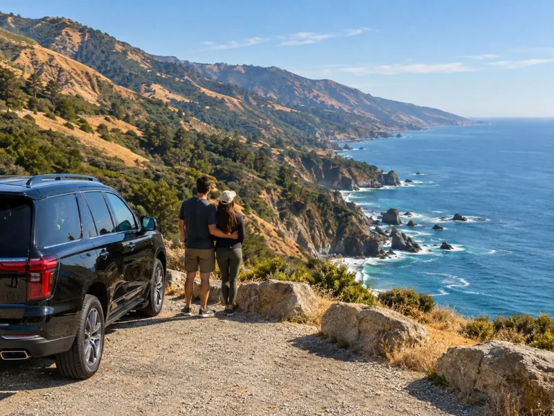
Carmel, Monterey & Big Sur Private Tour
- Private car and driver-guide for up to 4
- Pickup at your San Francisco hotel
- Tolls, taxes and entrance tickets if needed
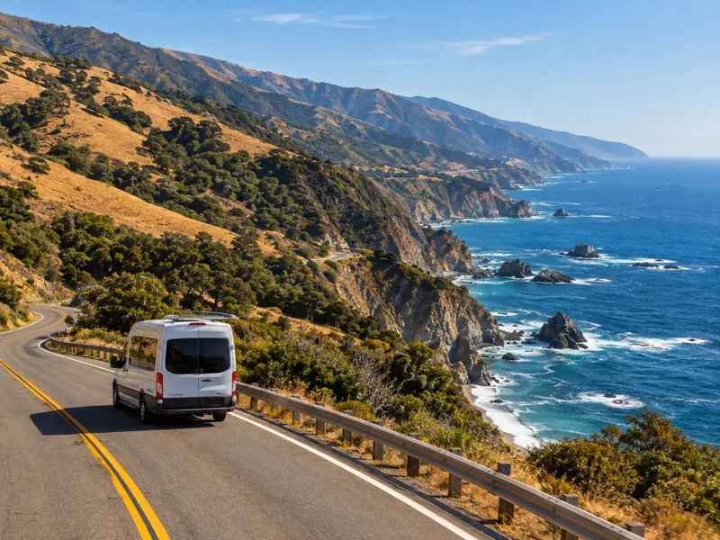
Highway 1, Monterey, Carmel & Big Sur Day Tour
- Pickup at San Francisco hotels
- 17-Mile Drive entrance fee
- Stops in Monterey, Pebble Beach and Carmel