Booking choice: The private tour from San Francisco, from $946 per group. Check dates Tour details
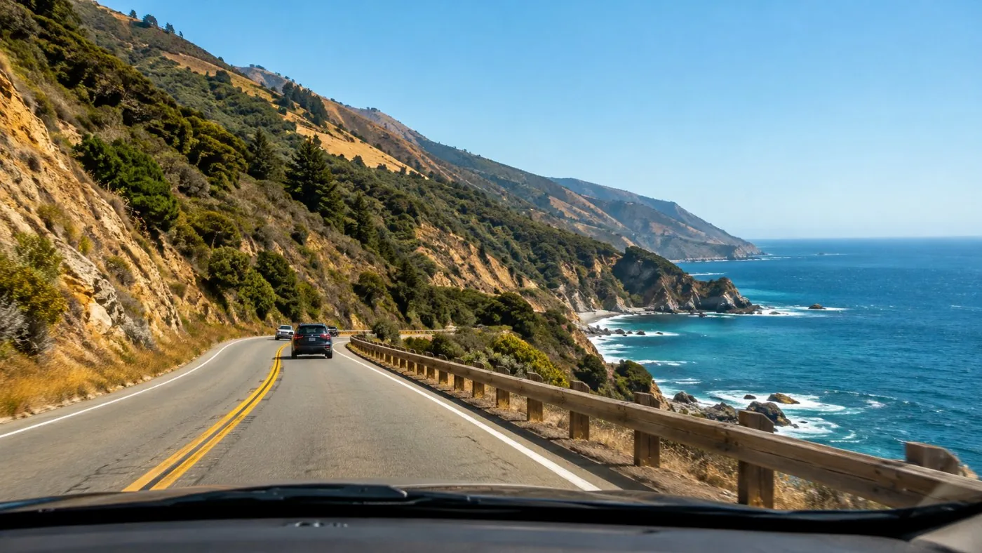
The Carmel to San Simeon highway took 18 years to build and opened in 1937. In 1965 it became California's first State Scenic Highway. Much of the road still follows its 1930s line, so lanes are narrow and the curves come one after another for 90 miles.
Nothing about it requires special skill. What it needs is patience, a full tank and the willingness to use a pullout.
The quick answer
The drive is not scary for most people: it is a paved two-lane highway with steep drops and guardrails only in places. Drive south in the morning, pull over to let faster cars pass, fill up before Carmel, and in autumn 2026 allow 5 to 20 minutes for one-way signals at Point Sur and Torre Canyon.
Is the drive from Carmel to Big Sur scary?
For most drivers, no. The first 26 miles to the Big Sur Valley are curvy but wide enough; the stretch south of Nepenthe is narrower, with longer drops.
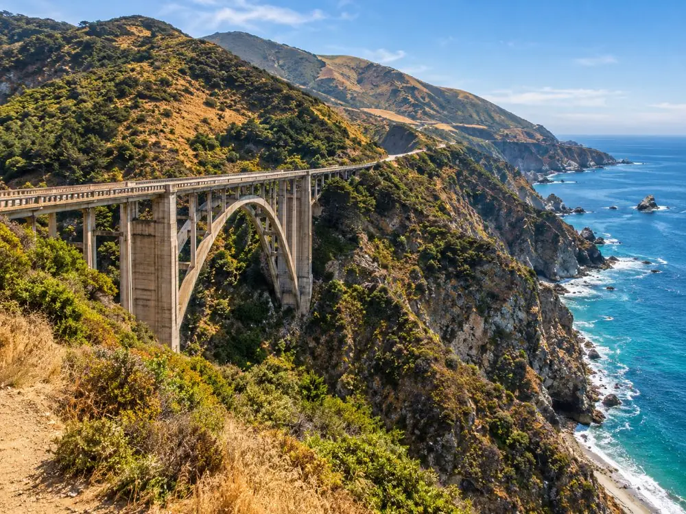
Lanes are narrow by modern standards. Bixby Bridge's deck is 24 feet wide, against 32 feet for a new bridge, and guardrails cover some drops and not others. Expect blind curves, cyclists, slow RVs and people braking for a view.
Nervous drivers do best mid-morning, after the fog, on a weekday. If heights bother a passenger, seat them on the inland side and keep stops to the big, flat turnouts.
What is the scariest road to drive on in America?
Big Sur rarely tops the lists. Colorado's Million Dollar Highway, Alaska's Dalton Highway and the Pikes Peak Highway usually do.
In most lists of scary American roads, the Million Dollar Highway (US 550, Silverton to Ouray) leads with thousand-foot drops and no guardrails. The Dalton Highway runs 415 miles to Deadhorse with long gravel stretches and no cell service, and the Pikes Peak Highway climbs to over 14,000 feet with a brake check on the way down.
Highway 1 is gentler than all three: paved end to end, with inns, parks and pullouts along the way. Its real hazards are human: drivers stopping in the lane for photos, and rock or mud on the road after rain.
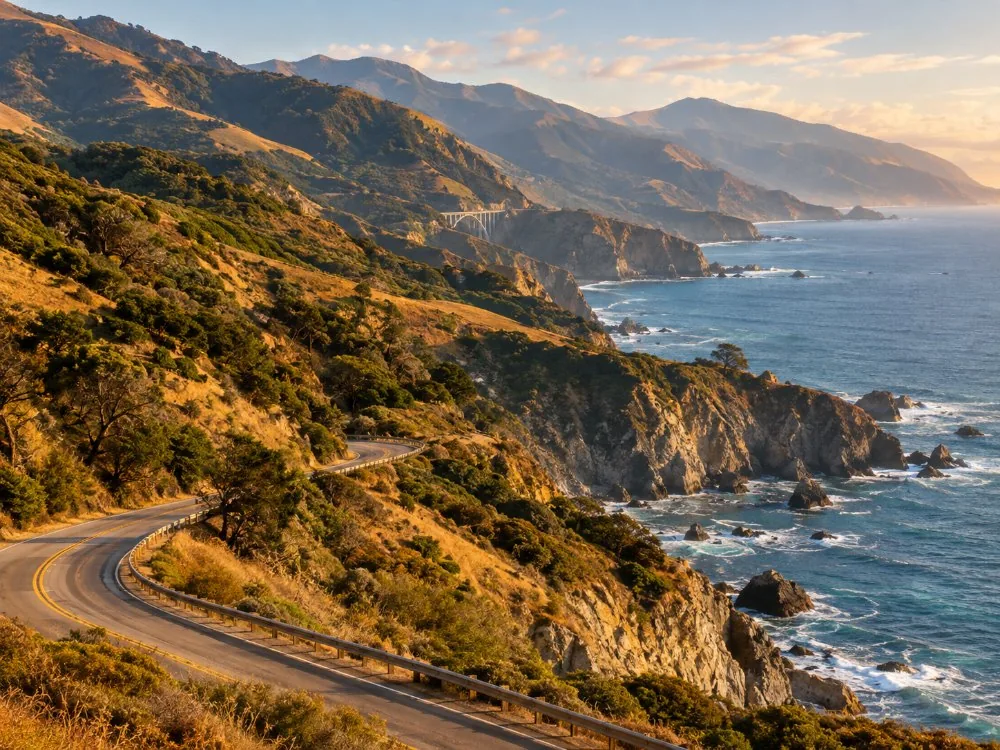
Which direction should you drive Highway 1 through Big Sur?
Southbound, from Carmel toward San Simeon. You are in the ocean-side lane, so the pullouts are right turns and the view is on your side.
Going north, every ocean pullout means turning left across traffic, often on a curve. If you must drive north, plan fewer stops and use the big turnouts with long sight lines.
On a there-and-back day trip from Carmel, make the stops on the way down and drive home with one exception: Pfeiffer Beach, which is best late in the day. Its turnoff is in the slow, flat Big Sur Valley, where a left turn is easy.
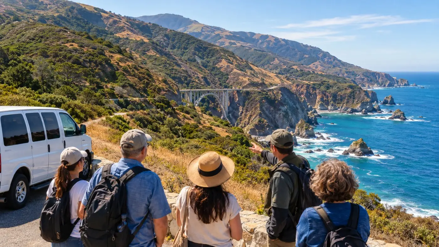
Rather someone else did the driving? A private driver-guide from San Francisco handles the curves while you watch the coast.
Check dates for the private tour from San FranciscoHow do the Big Sur pullouts work?
Use them to let traffic pass and to stop for photos, and nowhere else. California law requires a slow driver with five or more cars behind to pull over at the next turnout.
- Pull fully off the pavement and check for soft edges before you stop.
- Never stop in the lane for a photo, even for a second.
- Watch the Bixby Bridge zone: since August 2026, no parking for about 900 feet north and 700 feet south of the bridge. Tickets and tows are possible.
- Give cyclists room on the uphill grades and pass only where you can see far ahead.
- Walk on the outside of parked cars, away from traffic, and keep children close.
Where can you get gas in Big Sur?
Barely anywhere. Fill up in Carmel or Monterey heading south, or in Cambria or San Simeon heading north.
Gorda, 62 miles south of Carmel, is the pump everyone talks about: it reached $10.49 a gallon by the end of summer 2026. Older lists show pumps in the Big Sur Valley and at Ragged Point too; call ahead before you rely on them. Do not count on diesel.
Electric cars: there is a Tesla Supercharger at Ventana (8 stalls), and Andrew Molera lists an EV charger. Charge fully in Monterey or Cambria. Cell coverage is patchy to absent for most of the route, so download offline maps before Carmel.
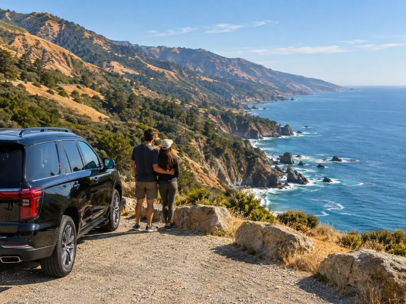
No gas math, no parking fees, no navigation: the private tour from San Francisco includes transport, tolls and taxes for up to four people.
Explore the private tour from San Francisco Tour detailsWhat are the one-way signals on Highway 1 in 2026?
Point Sur has a 24-hour signal; Torre Canyon has one-way control and some full daytime closures. Expect 5 to 20 minutes of waiting in late October 2026.
Both controls follow damage from the winter and the August fires. Caltrans posts new closures on QuickMap and in its District 5 news releases, and the local Big Sur Kate blog counts six one-way control points on the coast in October. Check Caltrans QuickMap the night before and again in the morning.
| Location | Miles from Carmel | Control | Expect |
|---|---|---|---|
| Point Sur (PM 54.9) | about 17 | 24/7 signal since 20 Feb 2026 | About 5 min |
| Torre Canyon (PM 39 to 40) | about 33 | One-way control from 13 Oct 2026, about 5 weeks | Up to 20 min |
| Torre Canyon, closure days | about 33 | Full closure 8 a.m. to noon and 1 to 5 p.m. (29 Oct; more expected) | Open noon to 1 p.m. only |
| Nacimiento-Fergusson Road | 53 (turnoff) | Closed by Forest Service order to 31 Jan 2027 | No shortcut to US 101 |
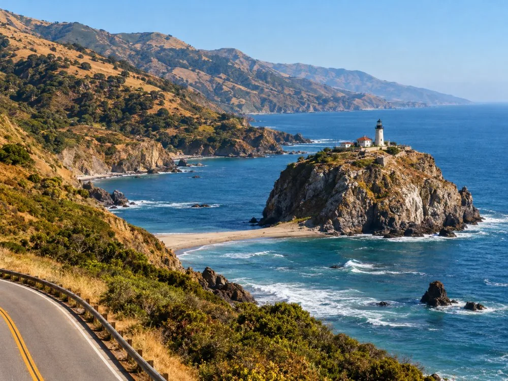
Is there a scenic drive around Big Sur?
Highway 1 is the scenic drive. The side options are the unpaved Old Coast Road behind Bixby Bridge and, north of Carmel, the 17-Mile Drive.
- Old Coast Road: the pre-1932 route, about 11 unpaved miles inland around Bixby Canyon, open to vehicles in dry weather. High clearance helps. The section near Andrew Molera is listed as closed after the Timber Fire, so check before you set out.
- 17-Mile Drive: a private toll road through Pebble Beach, $12.50 per car, sunrise to sunset (Pebble Beach). Not Big Sur; see Big Sur vs Carmel and the 17-Mile Drive.
- Carmel Valley Road: a quiet inland loop through vineyards from Carmel.
- Nacimiento-Fergusson Road: the mountain road to US 101, closed until at least 31 January 2027 (Forest Service closure order).
Want to ride the Old Coast Road rather than drive it? The guided e-bike tour climbs it from Andrew Molera. Check it is running after the fire closures.
Check dates for the Old Coast Road e-bike tourWhat should you know before driving Highway 1 in Big Sur?
Check the road, fill the tank, carry water and download maps. Then drive slower than you think you need to.
- RVs and trailers: fine on the highway, but no vehicles over 21 feet at Point Lobos and no RVs or trailers on the Pfeiffer Beach road.
- Restrooms: none for miles around Bixby Bridge; use the state parks.
- Night driving: no streetlights, deer on the road, and nothing to see. Be off the coast by dark.
- Car sickness: 90 miles of curves. Sit in front, look at the horizon, eat lightly.
- Closures: the detour for a mid-coast closure is US 101 inland, hours longer.
Frequently asked questions
How long is the drive from Carmel to Big Sur?
About 45 minutes to Pfeiffer Big Sur State Park, 26 miles south of Carmel, and about an hour to McWay Falls. Add 5 to 20 minutes for the 2026 one-way signals.
Can you drive Highway 1 through Big Sur at night?
You can, but there is little point. There are no streetlights, wildlife on the road and no views. Plan to be back in Carmel or Cambria by sunset.
Is Highway 1 through Big Sur open now?
Yes, from Carmel to San Simeon as of late October 2026, with one-way traffic at Point Sur and Torre Canyon and some full daytime closures. Check Caltrans QuickMap on the day.
Can you drive an RV on Highway 1 through Big Sur?
Yes, the highway is open to RVs. Some stops are not: Point Lobos bars vehicles over 21 feet and the Pfeiffer Beach road bans RVs and trailers. Use the pullouts to let traffic by.
Ready to book
Choose your tour
Check each listing for its cancellation terms. Prices are from-prices in USD and move with the season.
Carmel, Monterey & Big Sur Private Tour
- Private car and driver-guide for up to 4
- Pickup at your San Francisco hotel
- Tolls, taxes and entrance tickets if needed
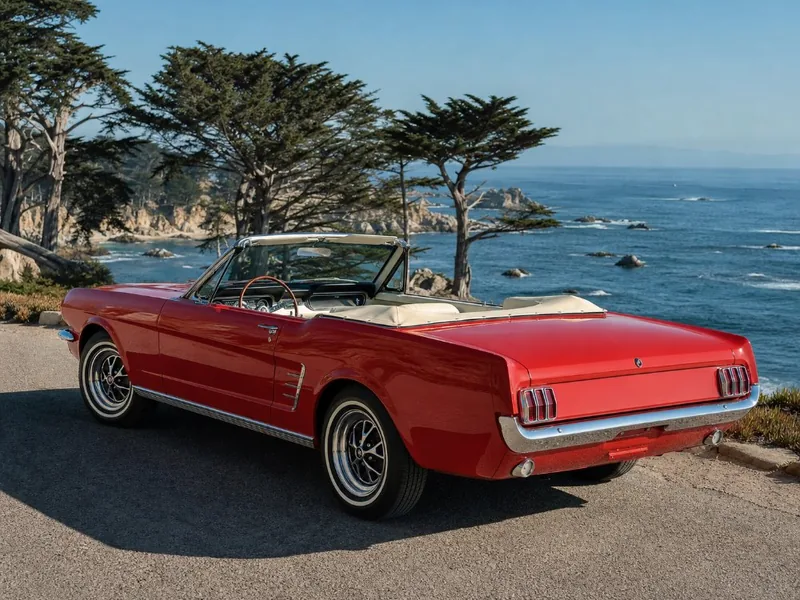
1965 Ford Mustang Convertible Rental
Top down, your own route: a classic convertible for up to 4
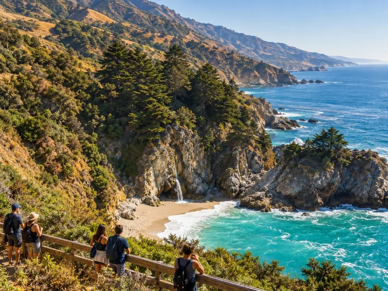
Private Big Sur & McWay Falls Day Tour
The one tour here that goes as far as McWay Falls, private for up to 5