Booking choice: The half-day coast tour from Monterey, from $227 per person. Check dates Tour details
Big Sur spent most of 2024 and 2025 cut in two. Regent's Slide south of Lucia closed the road in February 2024, Rocky Creek slipped out north of Bixby Bridge a few weeks later, and the full coast road only reopened at noon on 14 January 2026. Then the Timber and Plaskett fires closed up to 40 miles of it in August.
This post pulls the current picture together as of 29 October 2026: where the controls are, what they cost you in time, and which stretches a day trip from Carmel or Monterey actually touches.
The quick answer
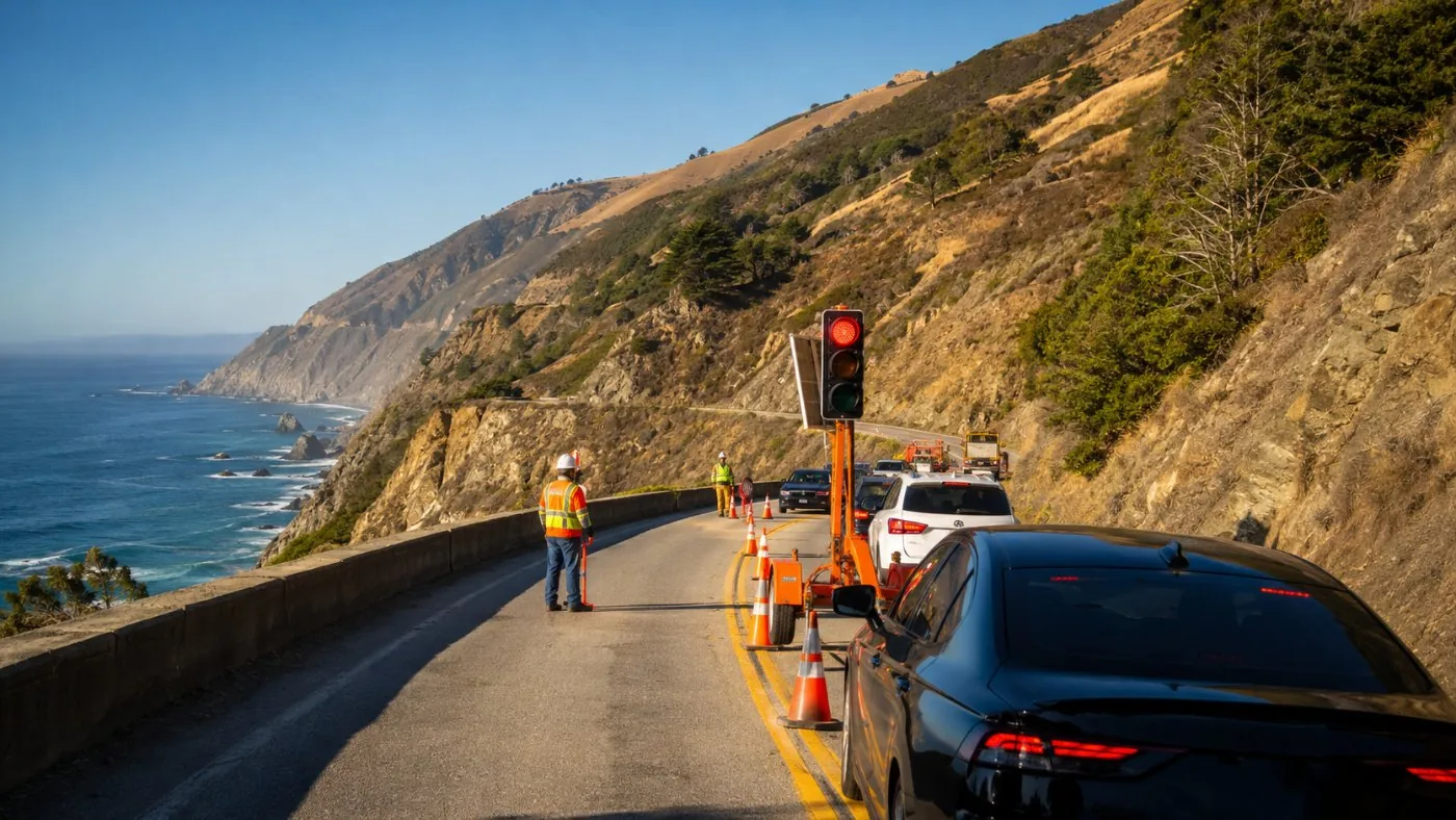
Highway 1 is open end to end. Expect a 24/7 one-way signal at Point Sur (delays about 5 minutes) and one-way control at Torre Canyon south of Nepenthe (delays up to 20 minutes), with full daytime closures there on some days. Check Caltrans QuickMap on the morning you drive.
Is Highway 1 through Big Sur open right now?
Yes. As of 29 October 2026 the road is open from Carmel to San Simeon, with traffic controls at two work zones and occasional scheduled closures.
The Big Sur Chamber of Commerce has carried a "Highway 1 Open!" banner since its 14 September update, when the last fire closure on the south coast lifted. State Parks still tells drivers to watch for firefighting equipment on the road.
Open does not mean quick. Caltrans is racing to get post-fire slopes and a failed embankment fixed before winter, and every work zone is a single lane. Build 30 extra minutes into any plan that goes south of Big Sur Valley.
| Location | Miles from Carmel | What is happening | Typical delay |
|---|---|---|---|
| Point Sur (PM 54.9) | about 17 | 24/7 one-way signal since 20 Feb 2026; embankment repair | about 5 min |
| Torre Canyon (PM 39 to 40) | about 33 | One-way control from 13 Oct 2026 for about five weeks; post-fire rock and brush removal | up to 20 min |
| Torre Canyon, some days | about 33 | Full daytime closures 8 am to noon and 1 pm to 5 pm (first one 29 Oct 2026), open noon to 1 pm | hours |
| Nacimiento-Fergusson Road | 53 (turnoff) | Closed by Forest Service fire order to 31 Jan 2027 | no through route |
Why was Highway 1 in Big Sur closed in 2024 and 2025?
Landslides, then fire. Regent's Slide and the Rocky Creek slip-out kept the road split for almost two years, and two wildfires closed it again in summer 2026.
Regent's Slide started about 450 feet above the road between Cow Cliffs and Rain Rocks, the most slide-prone stretch of the whole coast. Caltrans pinned the hillside with more than 50 miles of steel and reopened it on 14 January 2026, ahead of the March target. A storm pushed mud over the barriers a month later and shut it again for three days.
Up north, Rocky Creek was never a bridge collapse, whatever social media said. Part of the southbound lane next to the bridge fell away; new viaducts carried two-way traffic again from 30 June 2025.
| Date | Event | Reopened |
|---|---|---|
| 9 Feb 2024 | Regent's Slide closes 6.8 miles south of Lucia | Noon, 14 Jan 2026 |
| 30 Mar 2024 | Slip-out at Rocky Creek, 12 miles south of Carmel | Both lanes 30 Jun 2025 |
| 23 Jun 2024 | Paul's Slide near Lucia reopens | Open since |
| 17 Feb 2026 | Mud and rock over the barriers at Regent's | 20 Feb 2026 |
| 20 Feb 2026 | Embankment failure at Point Sur | Open with a 24/7 signal |
| 11 Aug 2026 | Timber Fire: about 10 miles closed near Julia Pfeiffer Burns | North section 3 Sep 2026 |
| Late Aug 2026 | Timber and Plaskett fires: about 40 miles closed | Last 8 miles about 14 Sep 2026 |
Where are the one-way signals on Highway 1 in Big Sur?
The two named ones are at Point Sur, about 17 miles south of Carmel, and Torre Canyon, between Nepenthe and Julia Pfeiffer Burns.
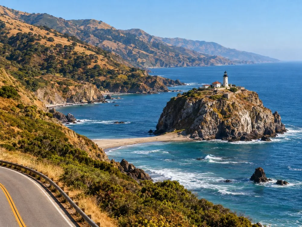
The Point Sur signal sits just north of the lightstation, where the ground under the southbound lane gave way in February. It runs day and night. Caltrans also ran overnight full closures there from 11 pm to 5 am on 12 to 15 October.
Torre Canyon is the bigger deal for October and November. Fire-scorched slopes above the road are shedding rock, so Caltrans is netting them. It announced a full daytime closure on 29 October and says more are coming. Big Sur Kate, the local news blog, counts this as the sixth one-way control on the highway; the others are small and shift week to week, which is why QuickMap beats any list.
Can you drive from Big Sur to US 101 if Highway 1 closes?
Not on the coast. Nacimiento-Fergusson Road is closed until at least 31 January 2027, so the only way around a closure is back north or south to US 101.
Nacimiento-Fergusson is the only paved road over the Santa Lucia range from the coast. A Forest Service order closed it, with the Timber and Plaskett burn areas, from 26 September 2026 to 31 January 2027.
In practice that means a mid-coast closure splits Big Sur into two dead ends. If Torre Canyon shuts at 1 pm while you are at McWay Falls, you wait for the next opening window or you drive south to Cambria and loop back on US 101. That is a long evening. Read the Caltrans closure times before you cross a work zone, not after.
How do you check Highway 1 conditions before you drive?
Use Caltrans QuickMap for closures and controls, the CHP incident page for crashes, and Big Sur Kate for local context.
- Caltrans QuickMap: zoom to Highway 1 south of Carmel; work zones show as orange icons with times.
- CHP incident page: pick the Monterey area to see live crashes and hazards.
- Big Sur Kate: reposts every Caltrans notice, often with a note on how the delays feel on the ground.
- Big Sur Chamber: the banner at the top of the page tracks open or closed.
Check the night before and again before you leave. There is little or no cell signal on much of the coast, so you will not get an update once you are past Carmel Highlands. Download an offline map too.
Not keen on timing work zones yourself? A local guide who drives this road daily knows the signal cycles.
Check dates for the half-day coast tour from MontereyDoes the road status change which Big Sur tour to book?
A little. Tours that turn around near Bixby Bridge miss both work zones; tours that reach McWay Falls cross both.
The listed route of the day tour from San Francisco turns around near Bixby Bridge and Hurricane Point, north of Point Sur, so neither signal touches it. The half-day coast tour from Monterey goes about 30 miles to the redwoods of Pfeiffer Big Sur and passes the Point Sur signal twice: about 10 minutes in total.
The private McWay Falls tour is the one to watch. It crosses Torre Canyon both ways. On a full-closure day a 12-hour itinerary can hit a locked gate, so ask the operator about the Caltrans schedule when you book.
A private driver-guide can swap the order of stops around a closure window instead of sitting in it.
Explore the private tour from San Francisco Tour detailsFrequently asked questions
Is Highway 1 open from Carmel to Hearst Castle?
Yes, as of 29 October 2026. It reopened end to end about 14 September after the fire closures, with one-way controls at Point Sur and Torre Canyon.
How long are the delays on Highway 1 in Big Sur?
About 5 minutes at the Point Sur signal and up to 20 minutes at Torre Canyon. Full daytime closures at Torre Canyon stop traffic from 8 am to noon and 1 pm to 5 pm on the days they run.
Is Bixby Bridge affected by the closures?
No. Bixby Bridge is 13 miles south of Carmel, north of both work zones. Parking within about 900 feet north and 700 feet south of it has been banned since August 2026.
When will the Torre Canyon work end?
Caltrans started the one-way control on 13 October 2026 for about five weeks and says more full daytime closures are expected. Check QuickMap for the current week.
Ready to book
Choose your tour
Check each listing for its cancellation terms. Prices are from-prices in USD and move with the season.
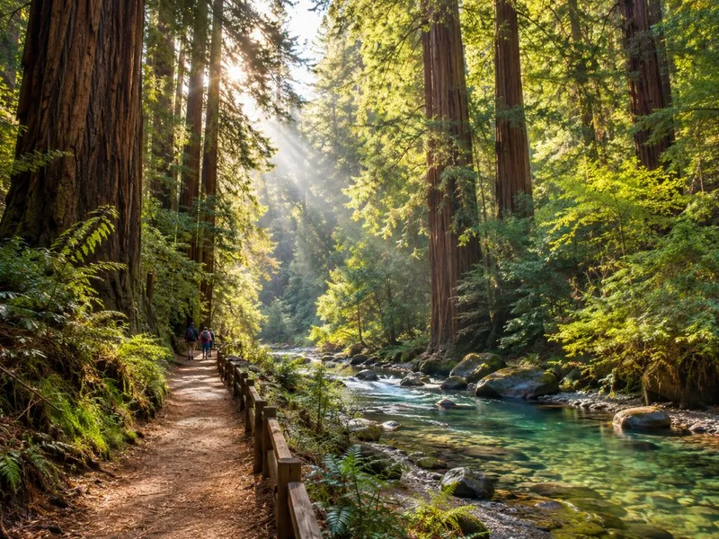
Big Sur Coast Half-Day Tour from Monterey
- Pickup at Monterey Peninsula hotels
- Guide commentary on geology, wildlife and history
- 4 to 5 short stops, redwood walk in Pfeiffer Big Sur
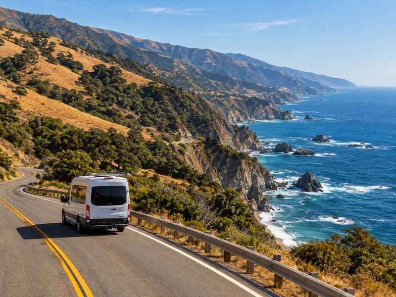
Highway 1, Monterey, Carmel & Big Sur Day Tour
- Pickup at San Francisco hotels
- 17-Mile Drive entrance fee
- Stops in Monterey, Pebble Beach and Carmel
Carmel, Monterey & Big Sur Private Tour
- Private car and driver-guide for up to 4
- Pickup at your San Francisco hotel
- Tolls, taxes and entrance tickets if needed