Booking choice: The private McWay Falls tour, from $890 per group. Check dates Tour details
Big Sur is a coast, not a town, and its stops are strung along one road. Going south from Carmel you pass a nature reserve, a run of roadside bluffs, the bridge everyone photographs, a lighthouse on a rock, then the Big Sur Valley with its redwoods and inns. McWay Falls comes about an hour in. After that the coast empties out for 40 miles.
Mileages below are from Carmel. Fees are 2026 day-use rates per vehicle.
The quick answer
On a first visit, stop at Point Lobos, a Garrapata turnout, Bixby Bridge (from a legal pullout), the Pfeiffer Big Sur redwoods, Pfeiffer Beach and McWay Falls. All of them sit within 37 miles of Carmel. Further south, the elephant seals at Piedras Blancas are free and open every day.
Where should I stop in Big Sur?
Point Lobos, Garrapata, Bixby Bridge, Pfeiffer Big Sur, Pfeiffer Beach and McWay Falls, in that order. Add Point Sur if your visit lands on a tour day.
Here is the full list in driving order, with what each costs and how long it deserves.
| Stop | Miles from Carmel | Fee (2026) | Time | Status, late Oct 2026 |
|---|---|---|---|---|
| Point Lobos | 3 | $10 per car | 1 to 2 h | Open; no vehicles over 21 ft |
| Garrapata turnouts | 5 to 9 | Free | 20 to 45 min | Soberanes Canyon open; Rocky Ridge closed |
| Bixby Bridge | 13 | Free | 15 min | No parking near the bridge |
| Point Sur Lightstation | 19 | $20 adult tour | 3 h | Docent tours only; call first |
| Andrew Molera | 21 | $10 per car | 1 h | Open; trails east of Highway 1 closed |
| Pfeiffer Big Sur | 26 | $10 per car | 1 h | Reopened 16 Oct; some trails closed |
| Pfeiffer Beach | 27, plus 2.2 on a side road | $15 per car | 1 h | Open |
| Nepenthe | 29 | Meal prices | 1 h | Check opening before you go |
| Partington Cove | 35 | Free | 1 h | Trail open |
| McWay Falls | about 37 | $10 per car | 40 min | Overlook open; beach closed |
| Limekiln | 51 | $10, cash only | 1 h | Kilns trail open; falls trail closed |
| Piedras Blancas seals | about 82 | Free | 30 min | Open daily |
What is the most beautiful part of Big Sur?
The 25 miles from Bixby Bridge to McWay Falls. It has the biggest cliffs, the bridge, the redwoods and the waterfall, and it is the part most day trips can reach.
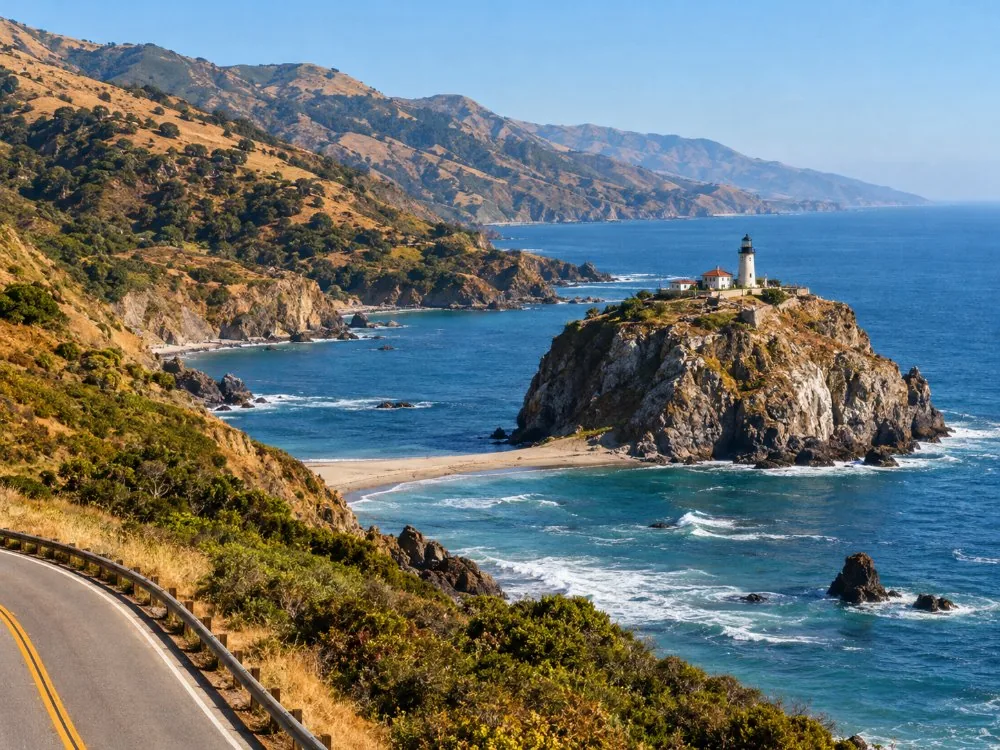
For raw scale, the stretch from Bixby Bridge past Hurricane Point to Point Sur is hard to beat: the road hangs on the mountainside and the lightstation sits alone on its volcanic rock below. For the postcard, Julia Pfeiffer Burns, where an 80-foot fall drops onto a beach nobody may walk on.
The south coast past Lucia is wilder and emptier. Lovely, but it costs two more hours of curves, and in 2026 much of its backcountry is closed after the Plaskett Fire.
What to see between Carmel and Big Sur?
Point Lobos, the Garrapata bluffs, Rocky Point, Bixby Bridge, Hurricane Point and Point Sur. The first 20 miles are dense with stops.
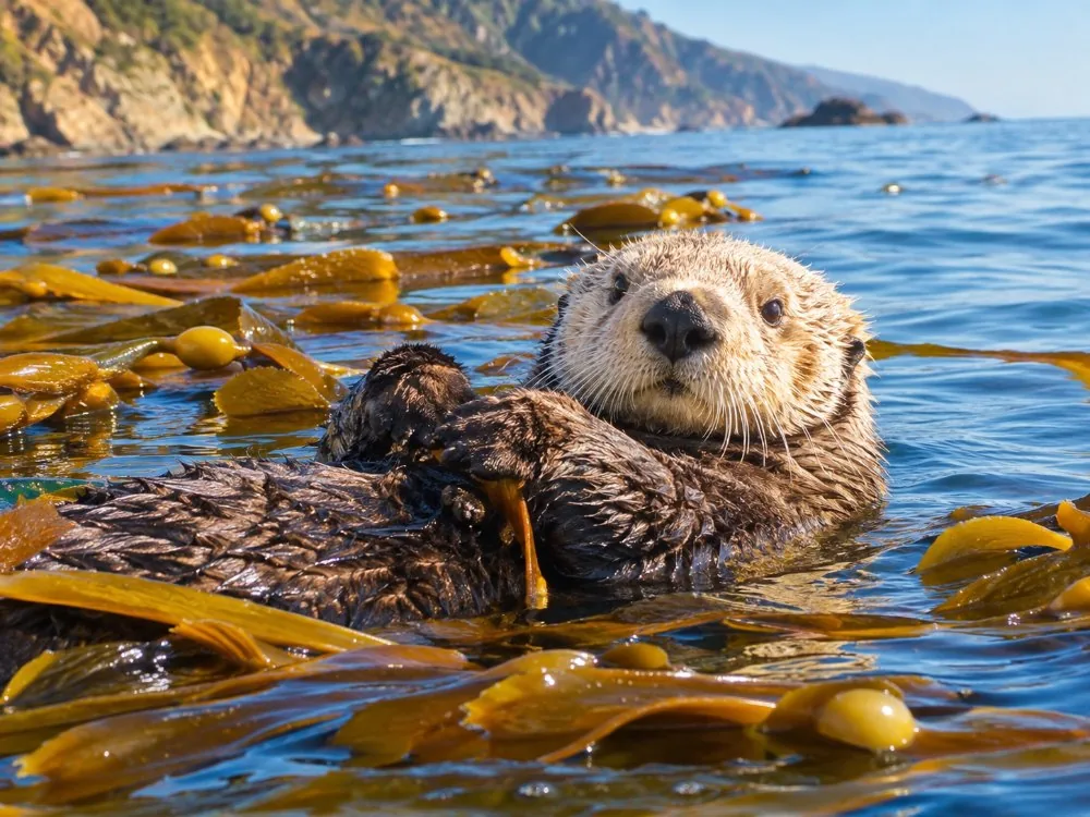
- Point Lobos (3 mi): cypress groves, coves and sea otters. $10 per car, open 8 a.m. with seasonal closing times; dogs are banned even in parked cars. See Point Lobos.
- Garrapata (5 to 9 mi): roadside gates with paths to the bluffs. Free, but parking is on the highway shoulder. State Parks warns that people have been swept off the rocks here; stay well back from the water (Garrapata State Park).
- Rocky Point (10 mi): a restaurant site with views. Its small beach is private.
- Bixby Bridge (13 mi) and Hurricane Point just south: the classic view, then the windy high point.
- Point Sur (19 mi): docent tours Saturday 10 a.m. and 2 p.m., Sunday 10 a.m., Wednesday 1 p.m.; first come, first served, arrive 30 minutes early.
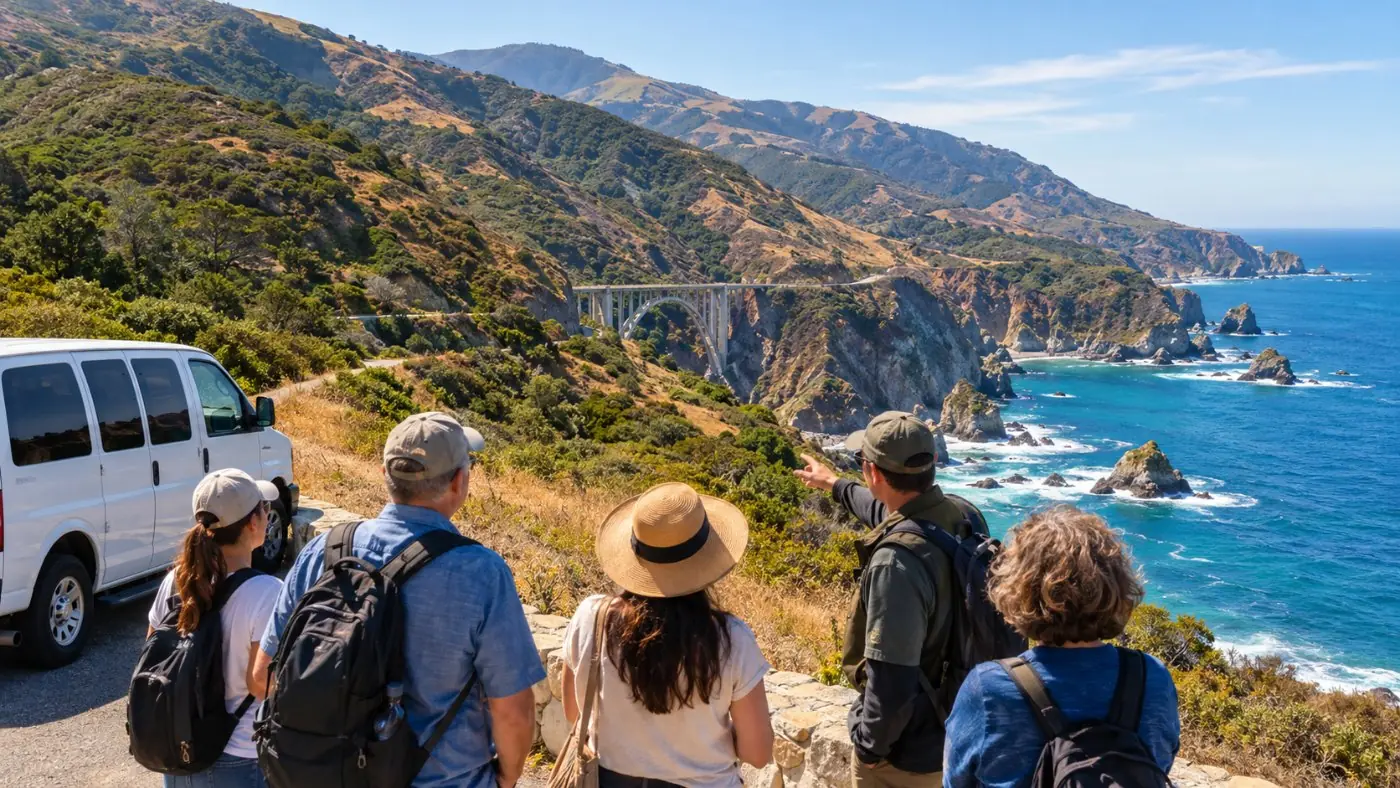
Want the northern stops with a local guide and no parking worries? The half-day tour leaves from Monterey Peninsula hotels.
Check dates for the half-day coast tour from MontereyHow do you see Bixby Bridge in 2026?
From a legal pullout outside the new no-parking zone. Since August 2026 you cannot park on Highway 1 for about 900 feet north and 700 feet south of the bridge.
Monterey County approved the no-parking zone in June 2026 as a 12-month pilot, and signs went up on 4 August. Violators risk a ticket or a tow. Parking at the north entrance of the Old Coast Road has been banned since September 2024. Use a turnout further away, walk carefully on the shoulder side, and never stop in the lane.
The bridge itself: finished in 1932, 714 feet long, about 280 feet high, built for $199,861. The deck is 24 feet wide with no walkway, so do not try to walk across it. There are no restrooms for miles in either direction.
Which stops are in the Big Sur Valley?
Andrew Molera, Pfeiffer Big Sur State Park, Pfeiffer Beach, Nepenthe and the Henry Miller Library, all within 8 miles of each other.
- Andrew Molera (21 mi): beach walks and Cooper Cabin. Trails east of the highway are closed after the Timber Fire (Andrew Molera page).
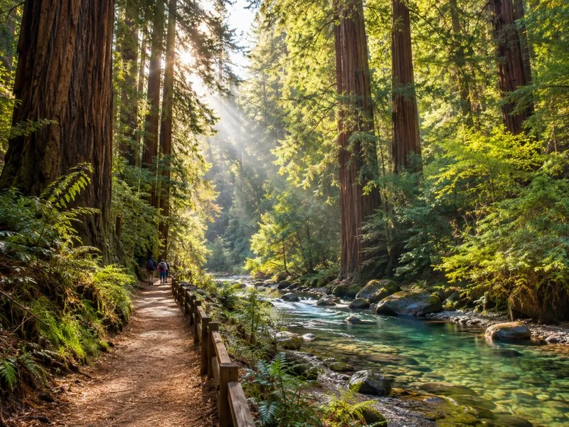
- Pfeiffer Big Sur (26 mi): reopened on 16 October 2026 with the Redwood Grove boardwalk, River Path, Nature Trail and Buzzards Roost open. Pfeiffer Falls, Valley View, Mt. Manuel and the River Gorge stay closed; entering them can earn a citation (State Parks reopening notice).
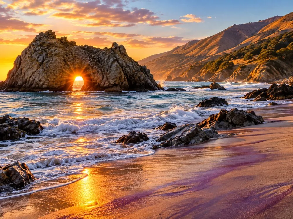
- Pfeiffer Beach (27 mi): turn west on the unmarked Sycamore Canyon Road for 2.2 single-lane miles. $15 per car, 65 spaces, no trailers or RVs. Under a Forest Service order you may only travel that road inside a vehicle: no walking or cycling in, fines up to $5,000.
- Nepenthe (29 mi): the terrace restaurant 800 feet above the sea, opened in 1949. Check it is serving before you plan lunch.
- Henry Miller Library (29 mi): books, art and concerts in the woods. Check the hours on its site.
Want Bixby, the valley and McWay Falls in one day from San Francisco without driving? This private tour goes as far as Julia Pfeiffer Burns, for up to five people.
Explore the private McWay Falls tour Tour detailsCan you get down to McWay Falls?
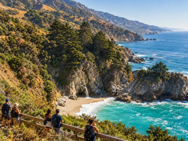
No. The beach and the cliffs around the falls are closed, and trespassing can mean a citation or arrest. You see it from the overlook trail, about half a mile from the lot.
McWay Falls drops 80 feet onto its cove and, at high tide, straight into the ocean. The beach formed after a 1983 mudslide. From the east-side parking lot at Julia Pfeiffer Burns ($10 per car), the trail runs through a short tunnel under Highway 1 to the overlook. Restrooms and the Partington Cove trail are open; see Julia Pfeiffer Burns State Park.
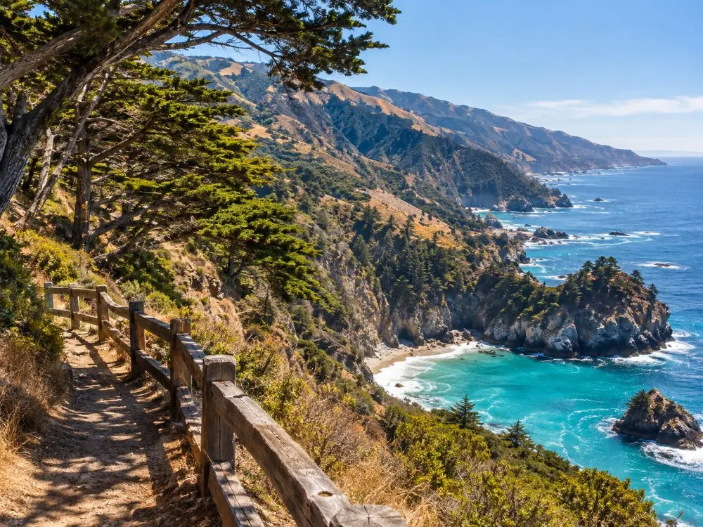
Partington Cove, 2 miles north, is the one place nearby where you can walk down to the water. The trail is short and steep, with a tunnel near the bottom.
Is the south coast worth the drive?
On a one-way trip or a second day, yes. As a there-and-back from Carmel, no: Lucia is 49 miles in and the seals at Piedras Blancas about 82.
- Limekiln (51 mi): a short trail to 19th-century lime kilns. The waterfall trail is closed in 2026; day use is $10, cash only (Limekiln State Park).
- Sand Dollar Beach (59 mi): about half a mile of sand, one of the longest public beaches on this coast.
- Gorda (62 mi): the fuel stop with the famous price board.
- Ragged Point (about 74 mi): inn, restaurant, coffee bar and mini mart just over the county line.
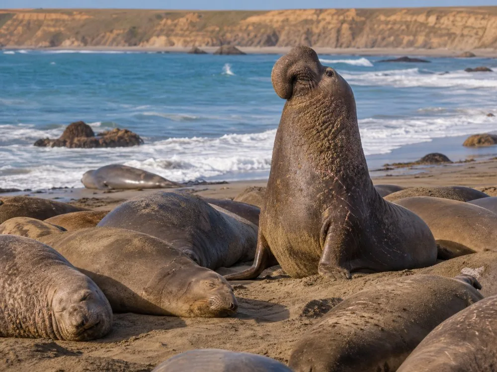
- Piedras Blancas (about 82 mi): free elephant seal viewing every day. Births peak in late January; juveniles haul out in October (Friends of the Elephant Seal).
Nacimiento-Fergusson Road, the paved shortcut from Kirk Creek to US 101, is closed until at least 31 January 2027 by a Forest Service closure order.
What should you not miss in Big Sur?
Point Lobos, one Garrapata bluff and the McWay overlook. They are the three stops where a short walk gives the most coast for the least time.
What you can skip, without regret: the Bixby shoulder (illegal now), the closed waterfall trails, a drop-in visit to Esalen (reservation only) and Point Sur on a day without a tour. A noon visit to Pfeiffer Beach in summer is a queue, not a beach.
Planning the timing? Our one-day itinerary puts these stops on a clock.
Prefer a private driver who stops where you ask? The private tour from San Francisco takes up to four people down the coast.
Check dates for the private tour from San FranciscoFrequently asked questions
Is Pfeiffer Beach part of Pfeiffer Big Sur State Park?
No. Pfeiffer Beach is run by the US Forest Service through a concessionaire, at the end of Sycamore Canyon Road. It charges $15 per car and state park receipts do not count.
Can you walk across Bixby Bridge?
No. The deck is 24 feet wide with no pedestrian walkway. View it from a legal pullout outside the no-parking zone that runs about 900 feet north and 700 feet south of the bridge.
Is Point Sur Lighthouse open every day?
No. It opens only on docent-led tours, usually Saturday, Sunday and Wednesday, first come first served. Adults pay $20. Call (831) 625-4419 before you go, as tours can be cancelled.
Where can you see sea otters in Big Sur?
In the kelp beds off Point Lobos and the Garrapata coves, all year round. Calm mornings are best; scan the kelp for small heads and raised paws.
Ready to book
Choose your tour
Check each listing for its cancellation terms. Prices are from-prices in USD and move with the season.
Private Big Sur & McWay Falls Day Tour
The one tour here that goes as far as McWay Falls, private for up to 5
Big Sur Coast Half-Day Tour from Monterey
- Pickup at Monterey Peninsula hotels
- Guide commentary on geology, wildlife and history
- 4 to 5 short stops, redwood walk in Pfeiffer Big Sur
Carmel, Monterey & Big Sur Private Tour
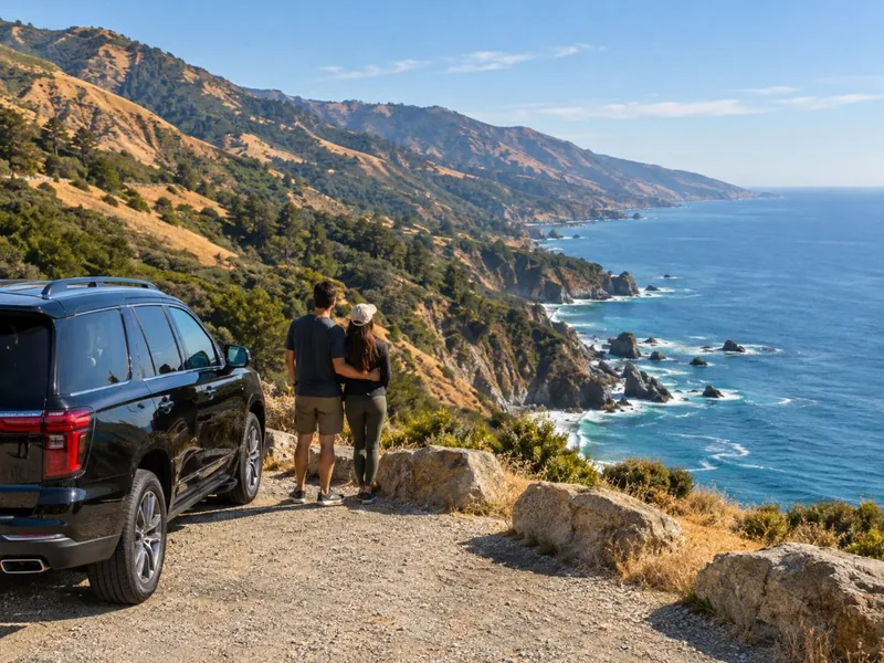
- Private car and driver-guide for up to 4
- Pickup at your San Francisco hotel
- Tolls, taxes and entrance tickets if needed